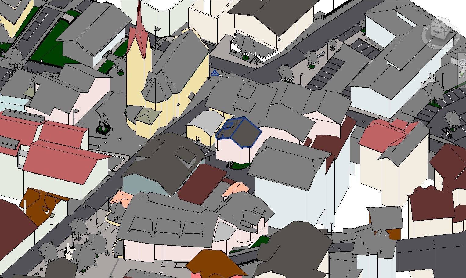
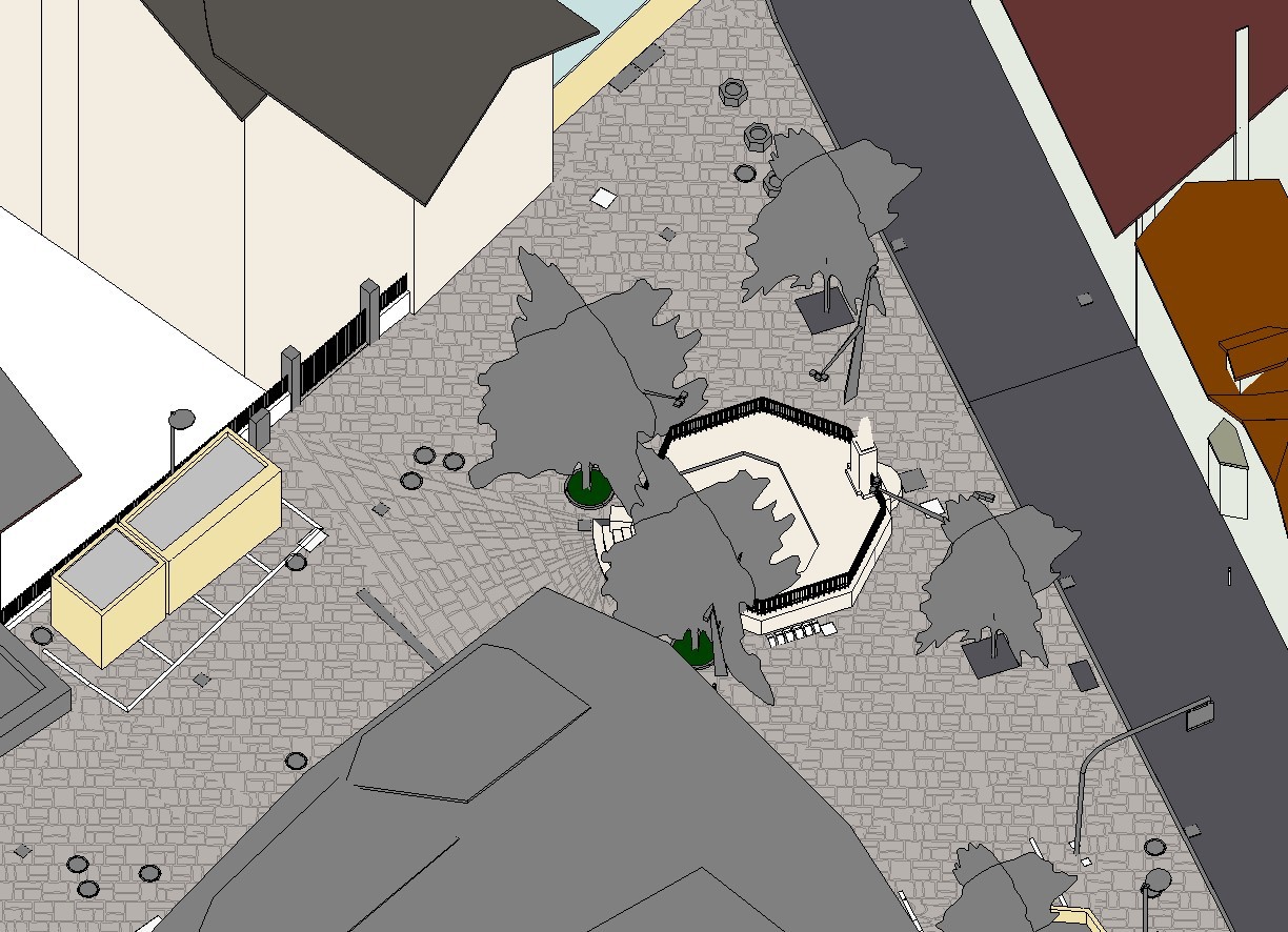
Welsberg-Taisten: Terrain-Focused BIM Modeling with LiDAR Precision
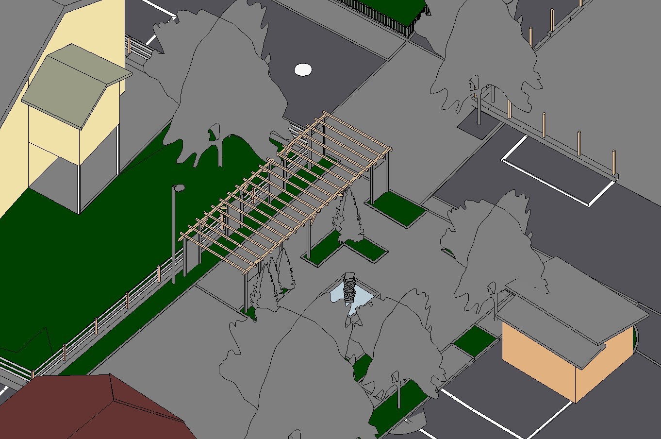
The Welsberg-Taisten project showcased the power of LiDAR technology in creating a detailed BIM model focused on terrain and infrastructure elements. Our team transformed the provided point cloud into a comprehensive model, capturing terrain features, vegetation, manholes, parking lots, electrical panels, traffic lights, and property lines. Materiality details were also carefully integrated, aligning with the client’s requirements.
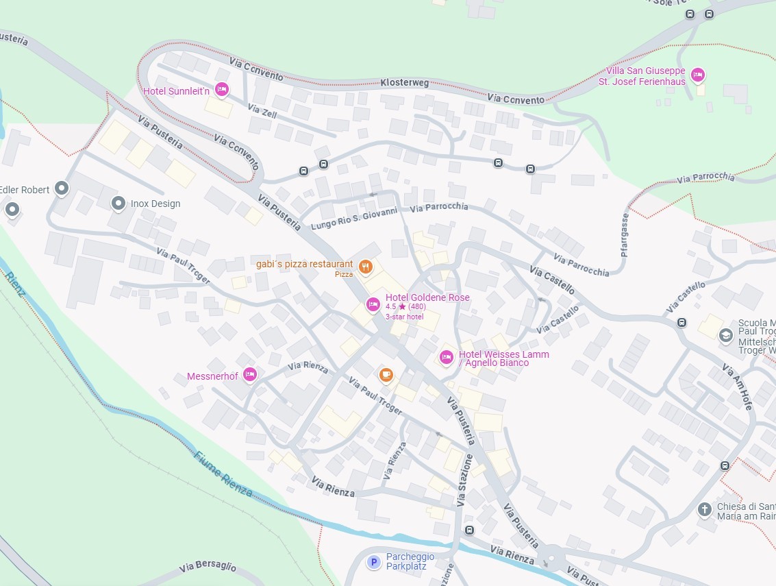
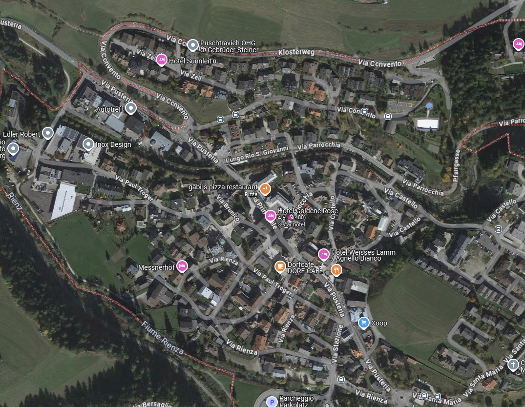
By leveraging point cloud data, photo spheres, and Google Maps, we ensured accuracy and timely delivery. This project emphasized the importance of precise modeling for non-building elements, demonstrating our ability to meet specialized client needs with efficiency and quality.
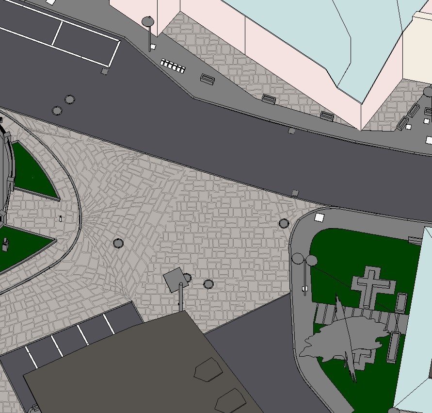
Welsberg-Taisten: Precision Terrain Modeling with LiDAR Data
The Welsberg-Taisten project utilized LiDAR technology to develop an accurate and detailed BIM model focusing exclusively on terrain and infrastructure. Key features included vegetation, manholes, parking lots, electrical panels, traffic lights, property lines, and materiality, as per client specifications.
Our team expertly combined point cloud data, photo spheres, and Google Maps to manage and deliver the project on time. This effort highlighted our ability to execute terrain-focused modeling with precision, providing a valuable resource tailored to the client’s unique requirements.